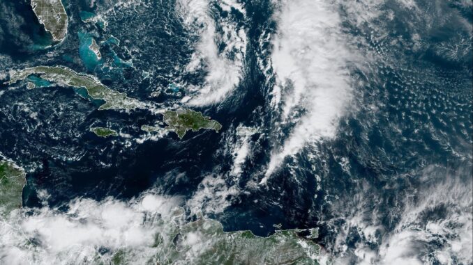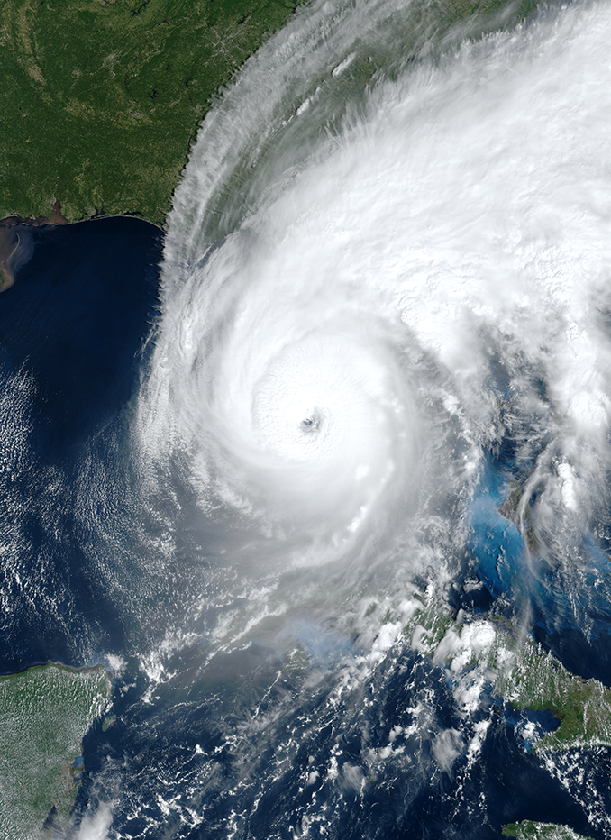
Forecasters with the National Weather Service are keeping a close eye on Tropical Storm Nicole, as forecast models show the storm is on track to impact the southeast coast by the end of the week.
Nicole was upgraded from a subtropical storm to a tropical storm on Tuesday morning, as the storm continued its course on towards the northwestern Bahamas and Florida’s Atlantic coastline.
Tropical Storm Nicole was roughly 350 miles to the northeast of the Bahamas on Tuesday morning and was moving at nine miles per hour, with maximum sustained winds of 50 miles per hour. It is expected to reach Florida’s coast on Wednesday night. The storm is expected to strengthen into a hurricane prior to landfall, which is currently projected somewhere along the east-central Florida coast.
On Monday, Florida Gov. Ron DeSantis declared a state of emergency, and coastal areas began preparing for this week.
According to the National Weather Service office in Raleigh, if the current model holds, central North Carolina expects significant rain and wind late Thursday night, Friday, and even Saturday, as the system interacts with an approaching cold front.
There is a “potential for several inches of rain on Friday into Saturday across central North Carolina. Significant river flooding is not expected, but localized flooding of poor drainage areas and leaf-clogged storm drains is possible,” said forecasters in a weather briefing on Monday morning. “Wind and severe weather threats appear to be limited with Nicole, but it will be dependent on the track of the storm.”
Currently, the seven-day forecast models show anywhere from 0.25 to 1.25 inches of rain expected across Hoke County, with up to 22 mile-per-hour winds.
The Atlantic hurricane season typically begins in June and runs through the end of November. The last storm to make landfall in November in Florida was Tropical Storm Eta, which hit the state in 2020.

